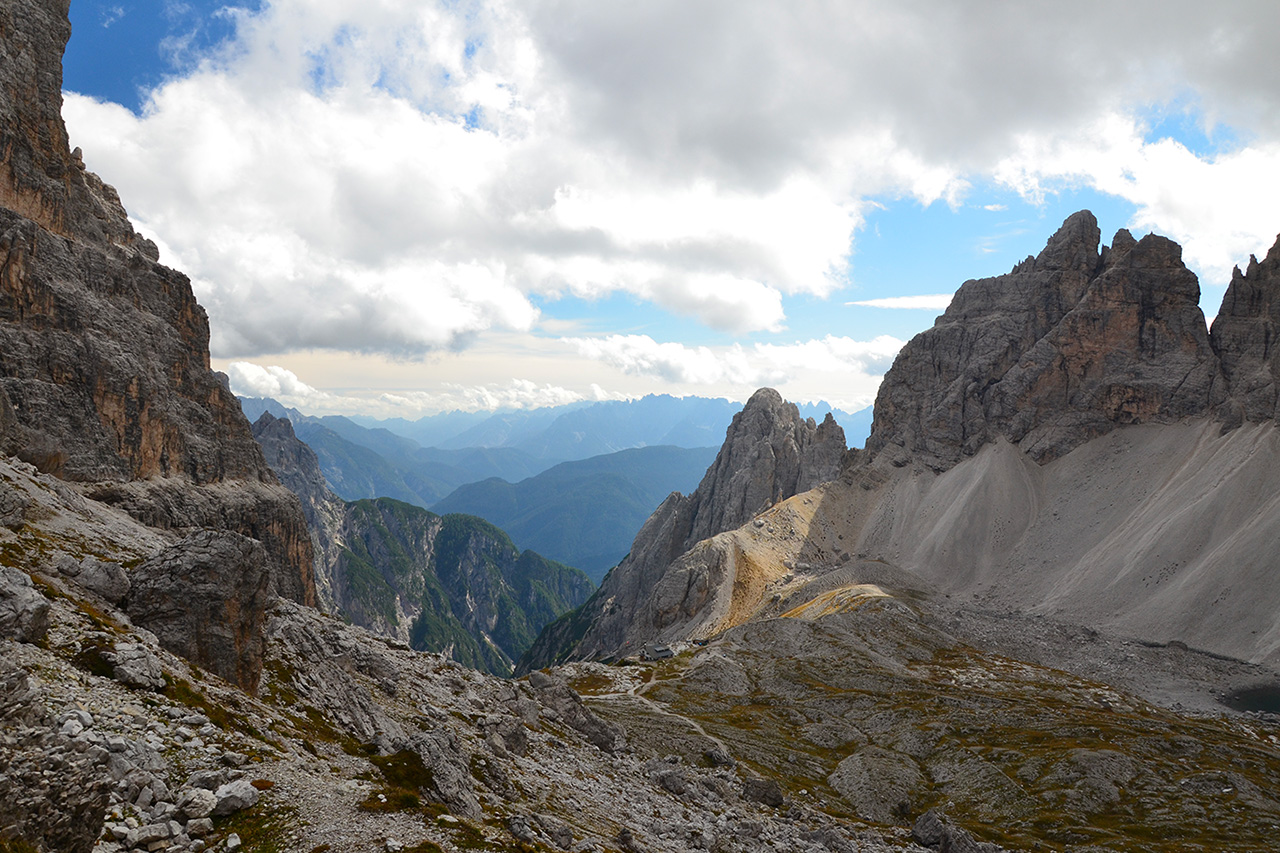
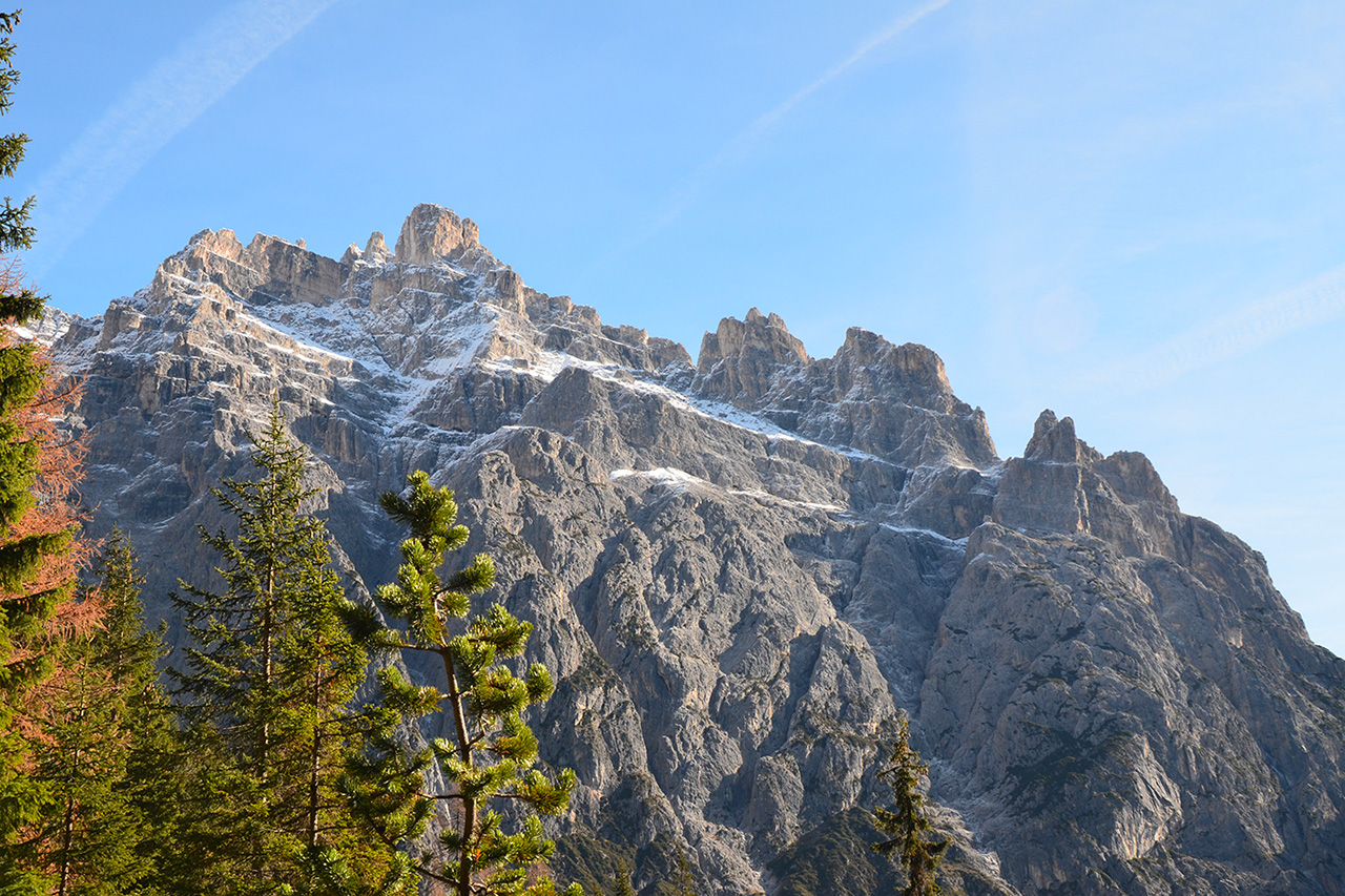
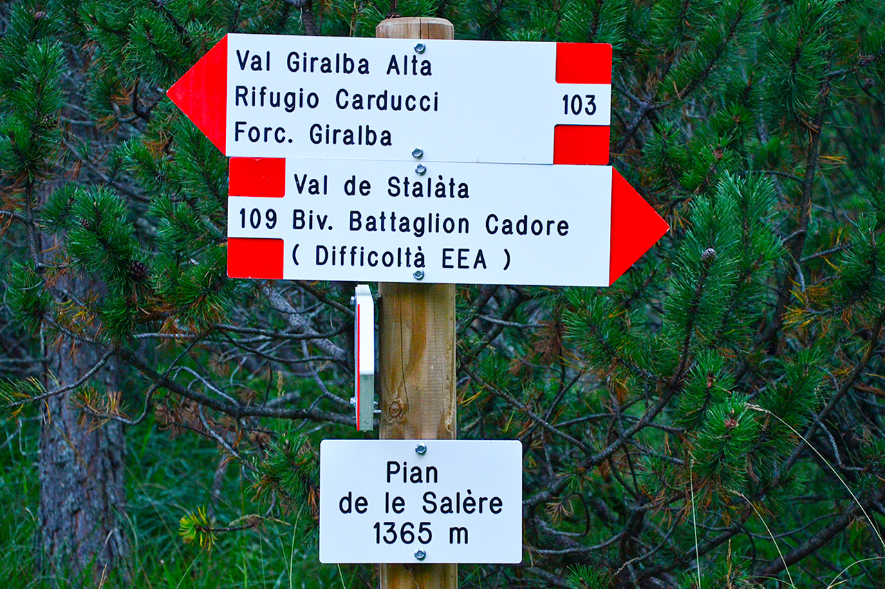
The route climbs the Giralba valley at the end of Auronzo town in the Pian della Velma area. At the end of a wide gravel road which crosses a predominantly Scots pine forested area the route turns onto a footpath which follows the lower valley carved out by the Giralba stream across landslides on occasions. In Pian de la Salère (1365 m), where the valley starts to open out, the route passes the marvellous Val Stallata fringed with the Guglie di Stallata and Fulmini and Campanili di Popera on the right.
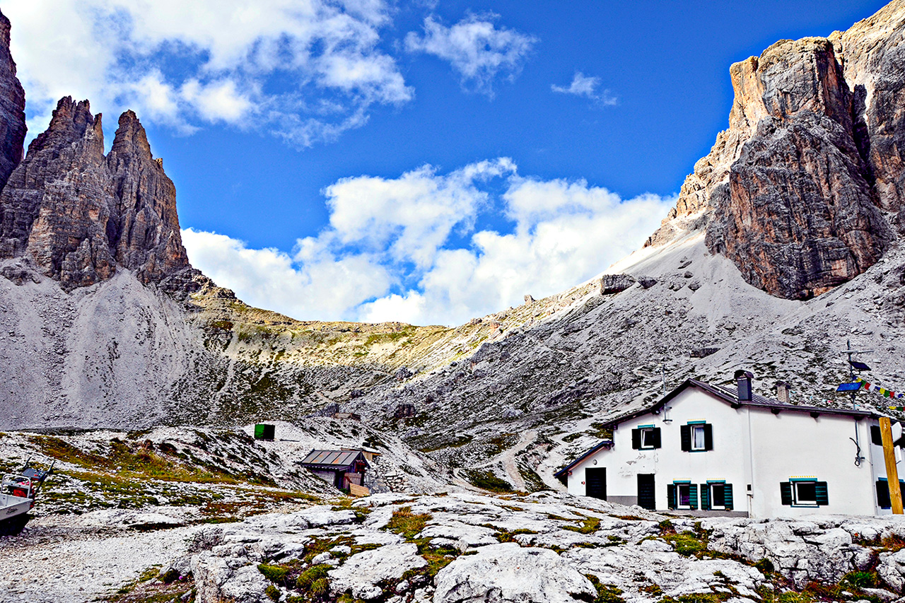
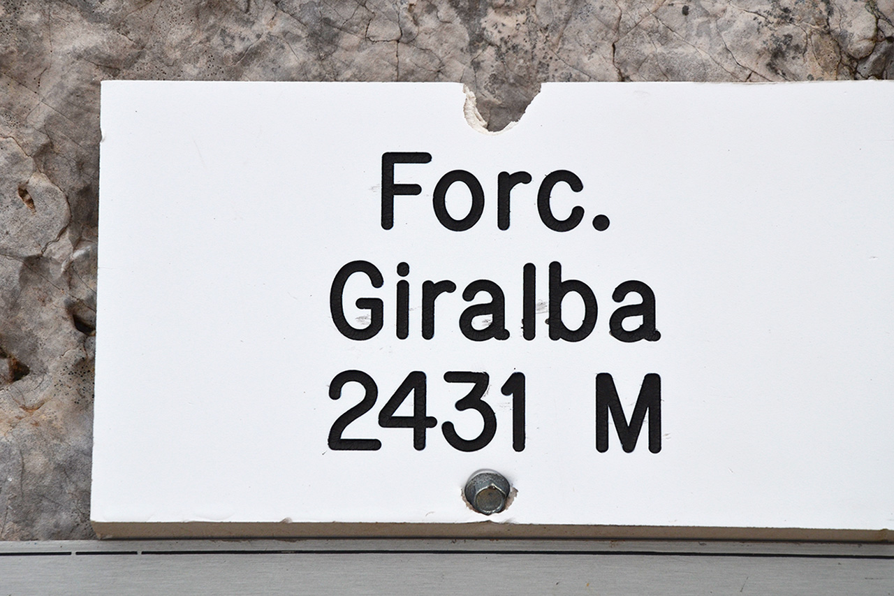
It then continues on hairpin bends to the edge of the forest giving you open views of the upper Giralba valley set between Croda dei Toni (and its Cime Pezzios branches) to the left and the Popera massif (with the Monti Giralba di Sotto and Sopra bastions) to the right. Don’t be lulled into a false sense of security by the apparently close Rifugio Carducci (2297 m) as the route continues at length uphill to its destination. Forcella Giralba, a pass which crosses over to Rifugio Zsigmondy-Comici and the Fiscalina valley, is just one hundred or so metres higher at 2431 metres. Return the way you came.
Info
Start : Auronzo (Giralba hamlet – Pian della Velma) 935m
Finish : Auronzo (Giralba hamlet – Pian della Velma) 935m
Trails : N. 103
Distance : _ _ _ m
Positive drop : _ _ _ m
Duration : 08:00h
Period : June – October
Difficulty : Medium/Easy
Water Presence : Present
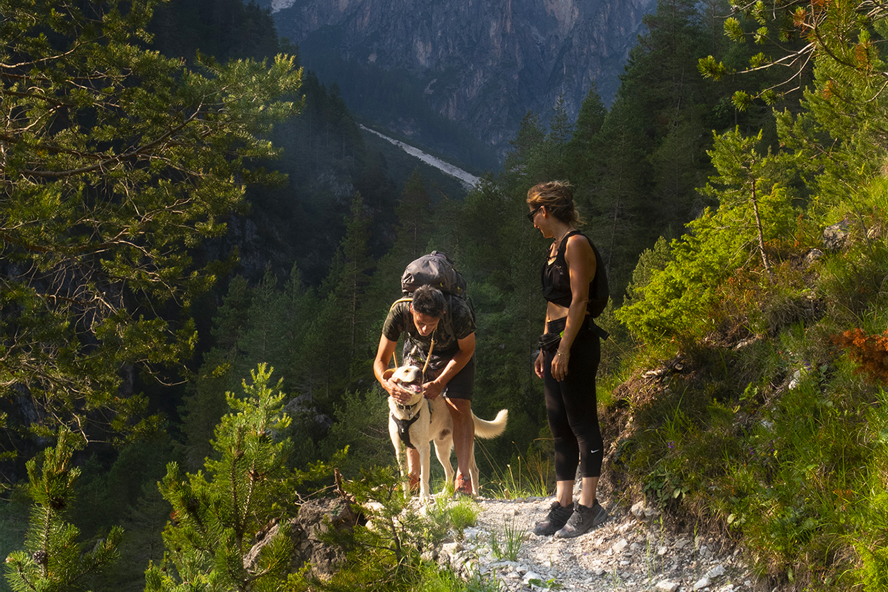
Dog Friendly : Yes
Ferrata equipment : No
Maximum altitude : Rifugio Carducci 2.297 or Forcella Giralba 2.431