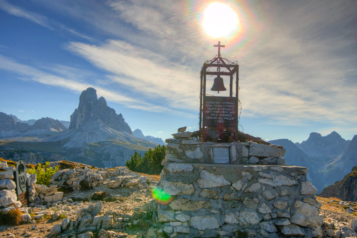
The route takes you to explore a place which is indissolubly linked to the tragedy of World War One. From 1915 to 1917 a total of 14,000 soldiers lost their lives on Monte Piana (or Monte Piano from the South Tyrolean side) in an exhausting war of attrition fought in trenches and walkways which are still visible today.
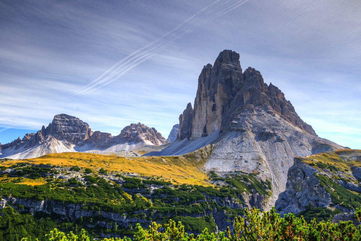
The route starts in Misurina along the military road which turns off left at the beginning of the climb to the Tre Cime di Lavaredo (large car park and bus stop, starting point Ristorante Genzianella). The first section is on the level and it then follows the hair pin bends of the tarmac road to Rifugio Bosi at 2205 metres with the high grassy plateau which saw so much fighting behind it. It follows the old military footpaths in the midst of the trenches. You can explore the whole summit of the mountain in two or three hours. It is an open air museum and a highly panoramic spot.The views from it range from the north-west slopes of the Tre Cime, the Cadini massif and Lake Misurina with Mt. Sorapiss in the background, the Popena valley and the Cristallo massif, Mts Croda Rossa d’Ampezzo, Picco di Vallandro, Rudo and the Rondòni and Baranci massifs. It is a 360 degree view of unparalleled beauty.
Back at the refuge again you can visit the little museum there dedicated to Major Bosi and then descend on the road you came on to Forcella Alta (1984 m) turning left at Forcella Bassa (1880 m) to return to Misurina.
Info
Start : Misurina 1.756 m, (Ristorante Genzianella car park, bus stop)
Finish : Misurina 1.756 m, (Ristorante Genzianella car park, bus stop)