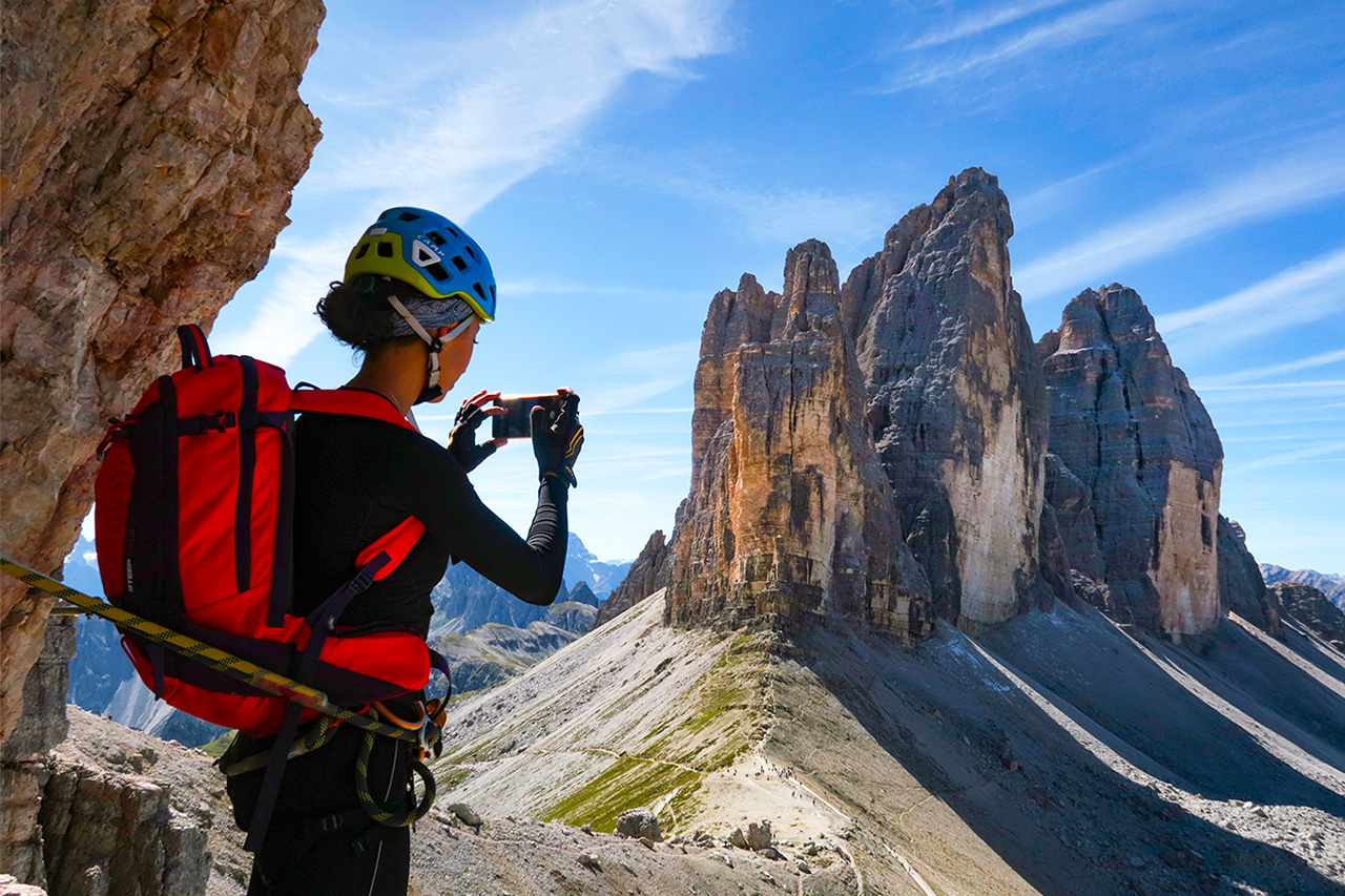
The route is in the heart of the northern Dolomites in the midst of legendary mountains such as the Tre Cime di Lavaredo, Croda dei Toni and the Croda del Passaporto and Mt. Paterno massifs. Southward views take in the Cadini di Misurina and Marmarole massifs and Mt. Antelao and northwards towards the Sesto Dolomites.
The starting point is Rifugio Auronzo (2330 m with car access via a tarmac road and a fee paying car park, by bus or on foot from Misurina 1752 m) and passes Rifugio Lavaredo (2344 m) turning right before Forcella Lavaredo in the direction of Rifugio Pian di Cengia (2519 m). The route is a complete circuit of Mt. Paterno, a peak with enduring World War One associations, crossing chilly Alpine lakes on both sides (Laghi di Cengia and Laghi dei Piani).
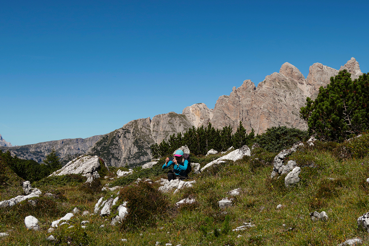
The descent from Forcella di Cengia at Alpe dei Piani is steep but free of exposed sections. At Rifugio Locatelli (2405 m) the path ups and downs to its starting point across Forcella Col di Mezzo (2315 m) where the footpath is narrower but still unchallenging.
Info
Start : Auronzo Hut 2.330m car park and bus stop
Finish : Auronzo Hut 2.330m car park and bus stop
Trails : N. 101 – 104 – 105
Distance : _ _ _ m
Positive drop : _ _ _ m
Duration : 05:00-05:30h
Period : June – end October
Difficulty : Hard
Water Presence : Present
Dog Friendly : Yes
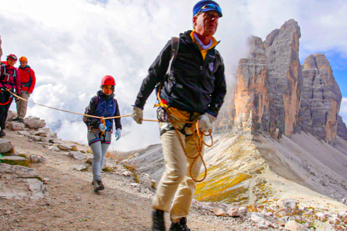
Ferrata equipment : No
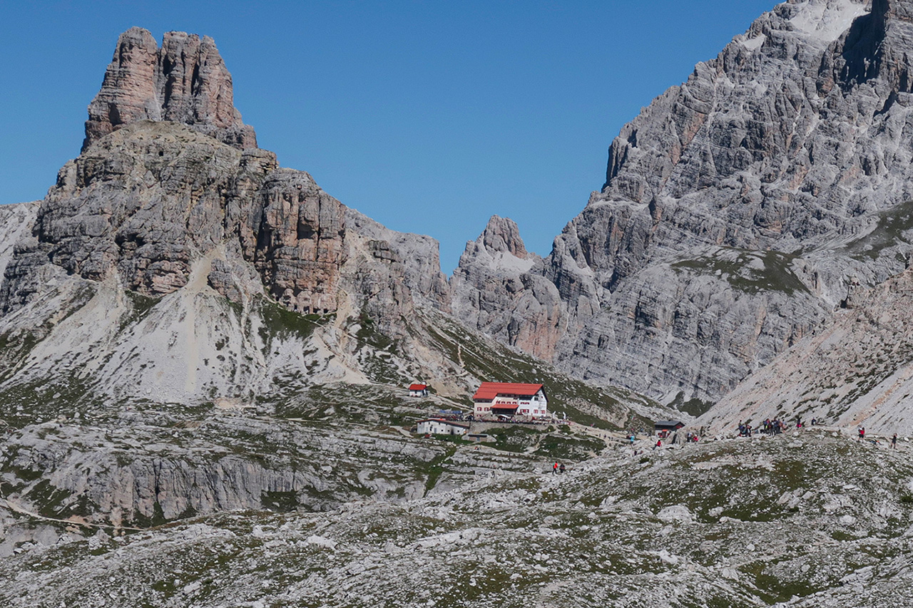
Maximum altitude : Rifugio Pian di Cengia/Büllelejochhütte 2.528 m
Stop off point : · Auronzo Hut alle Tre Cime di Lavaredo 2.330
· Lavaredo Hut 2.344
· Pian di Cengia Hut – Büllelejochhütte 2.528 m
· Rifugio Dreizinnenhütte A.Locatelli S. Innerkofler 2.405
· Malga LangAlm 2.283 (only food)