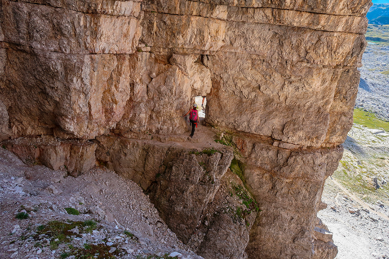
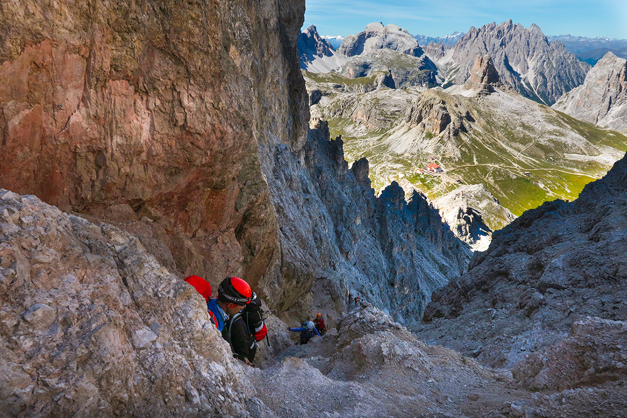
Route of great historical as well as panoramic interest. Starting from Rifugio Auronzo (2330 m, with car access on a tarmac road – fee paying car park – by public bus or on foot from Misurina, 1752 m) from where the route begins in the Rifugio Locatelli (2405 m) direction via Rifugio Lavaredo (2344 m) and Forcella Lavaredo (2454 m). The route then climbs to the right along the northern ridge of Mt Paterno on long sections of cable assisted path along Italian World War One positions often in tunnels (head torch needed) and often exposed.
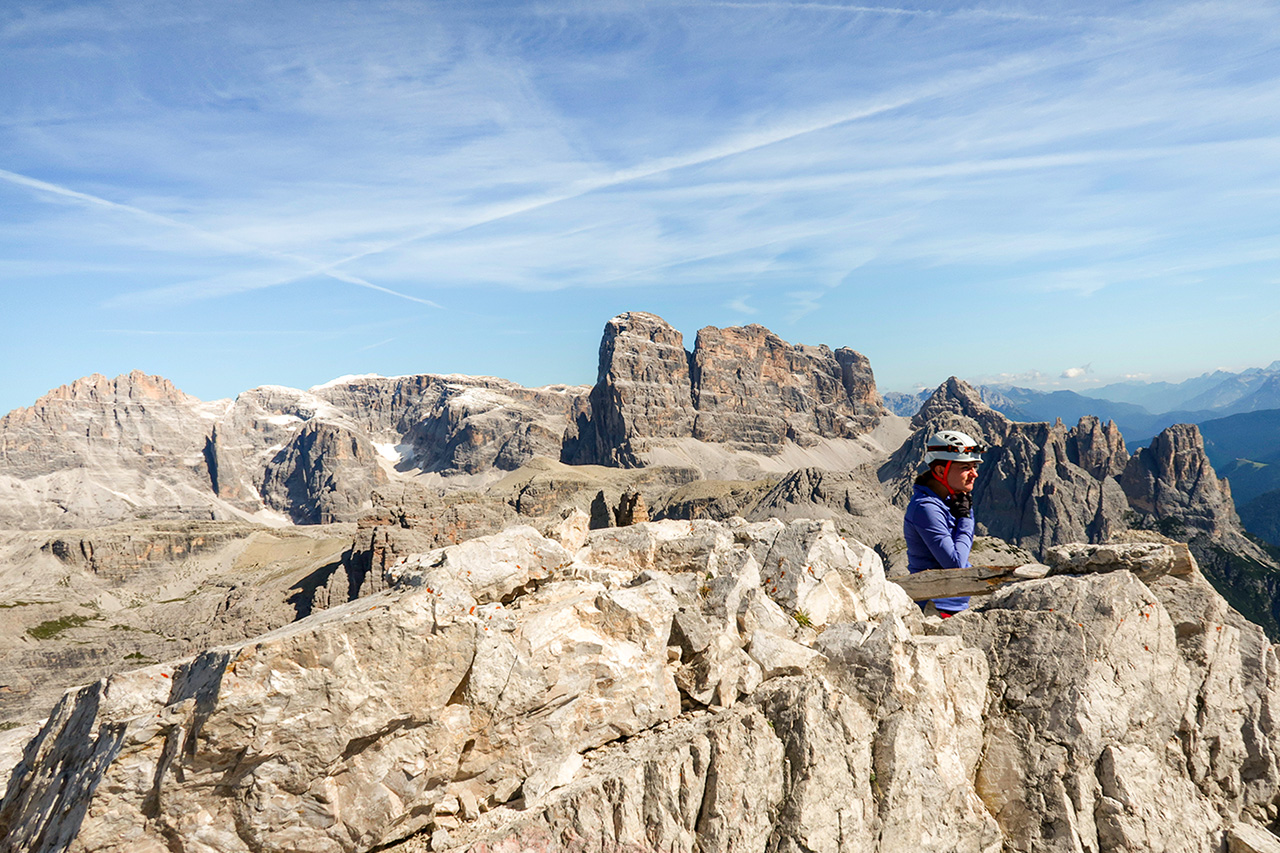
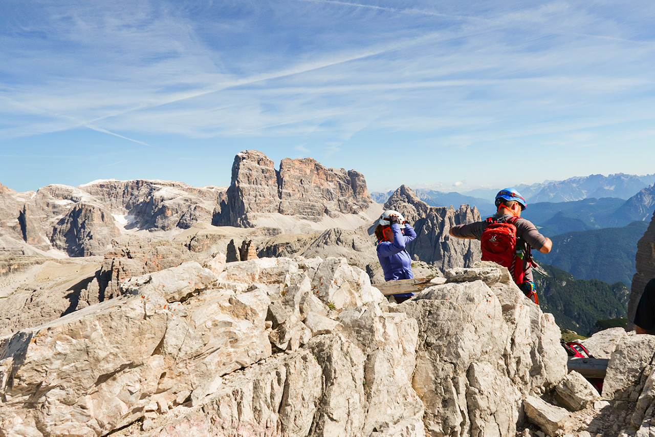
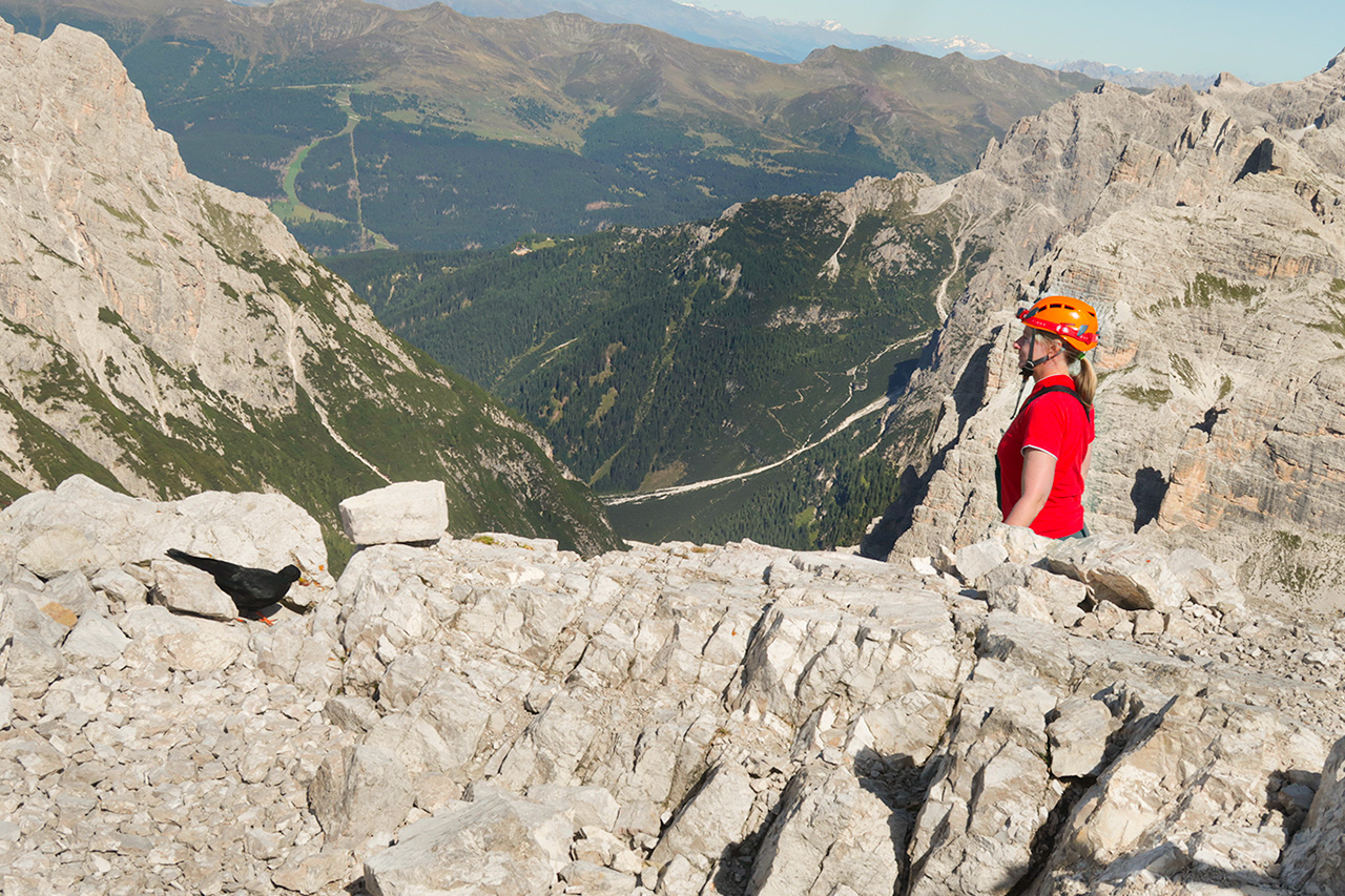
At Forcella del Camoscio (2650 m approx.) you can continue briefly to the peak (2744 m) if you wish on metal cables on the first rocky section and then descend once more to the Forcella and begin the climb to Rifugio Pian di Cengia (2528 m). It is an enormously panoramic route along a series of ledges equipped with metal cables, steps and a wooden bridge. There are amazing views throughout of the Auronzo and Sesto Dolomites with the north faces of the Tre Cime behind you.
The route finishes by returning to Rifugio Auronzo across Pian de Zengia (no. 104) and busy gravel road no. 101 along the south face of the Tre Cime after Rifugio Lavaredo.
Info
Start : Rifugio Auronzo 2.330 m
Finish : Rifugio Auronzo 2.330 m
Trails : N. 101 – 104
Distance : 17550 m
Positive drop : 2376 m
Duration : 06:00-06:30h
Period : June – mid October
Difficulty : Hard
Water Presence : Present
Dog Friendly : No
Ferrata equipment : Yes (including head torch for the tunnel sections)
Maximum altitude : Monte Paterno 2.744 m(or Forcella del Camoscio at 2650 m if you’re not interested in climbing to the peak)
Stop off point : Rifugio Auronzo alle Tre Cime di Lavaredo2.330
· Rifugio Lavaredo 2.344
· Rifugio Dreizinnenhütte A.Locatelli S. Innerkofler 2.405
· Rifugio Pian di Cengia – Büllelejochhütte 2.528 m