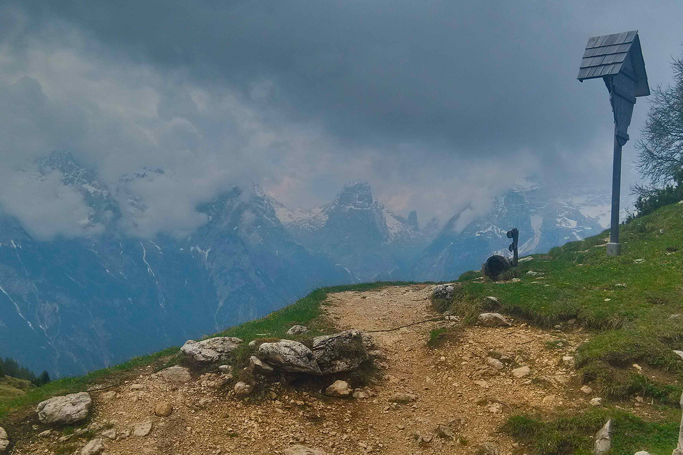
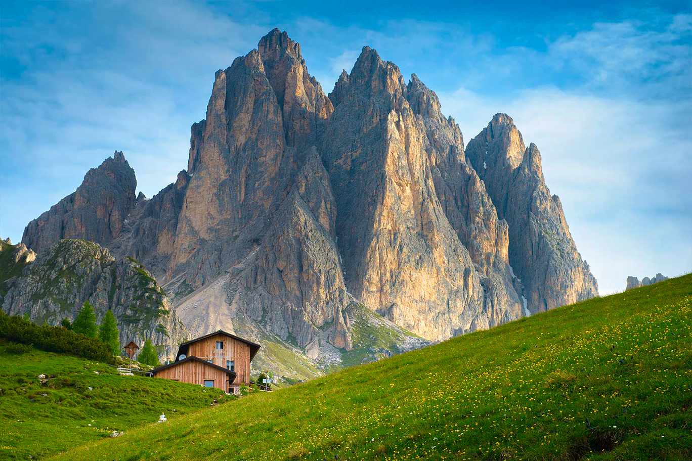
Pleasant panoramic walk along the southern slopes of the Cadini di Misurina massif, a panoramic terrace over the wild Marmarole mountains, imposing Mt. Sorapiss and majestic Mt. Cristallo as far as the Tofana massif, the backdrop to Cortina. After a convenient ski lift ride to Rifugio Col de Varda (2115 m) the route then briefly descends along the ski slope before turning left and following a straightforward, gently descending gravel road which meets the Misurina road just a few metres lower down (an alternative for those who would prefer to do the whole route on foot). The path then continues downhill to Bus de Pogofa (crossroads with the Federavecchia paths) with fantastic views ahead in the midst of dwarf mountain pines and through a blackened section caused by a fire a number of years ago. Following the main track the path then climbs once more in the midst of low pines and meadows to Forcella Maraia, a beautiful open pasture with Rifugio Città di Carpi (2110 m). Behind you are the Cime di Maraia, Cima Eötvös, Gemelli, Cadin di San Lucano and Cadin di Nord Est peaks as well as other Cadini spires and pinnacles. The route then returns the same way to Bus de Pogofa where it continues to the left and then, after a few hundred metres, on a footpath which ups and downs to Misurina in the midst of larch forests. The last section is on a gravel road to the lower ski lift station.
Info
Start : Col de Varda Hut 2.115 m
Finish : Misurina 1752 m, lower Col de Varda ski lift station
Trails : N. 120
Distance : 9896 m
Positive drop : 273 m (andata), 641m (ritorno)
Duration : 03:00-03:30h
Period : End May – End October
Difficulty : Easy
Water Presence : Present
Dog Friendly : Yes
Ferrata equipment : No
Maximum altitude : Col de Varda Hut 2.115
Stop off point : · Col de Varda Hut 2.115 · Città di Carpi Hut 2.110